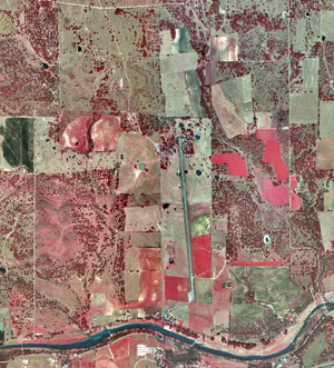
Infrared aerial photograph are an element of remote sensing. It is a picture taken from the air, via satellite, plane, balloon, etc, and instead of using the visual light spectrum the infrared spectrum is used. The infrared spectrum is used to show feature that might not be seen in the visible light spectrum. Some uses of infrared photography include organic material (plant life), and areas with low amounts of visual light. Aerial photography is good because despite taking a picture of a large area, with today's technology great detail can still be captured.
No comments:
Post a Comment