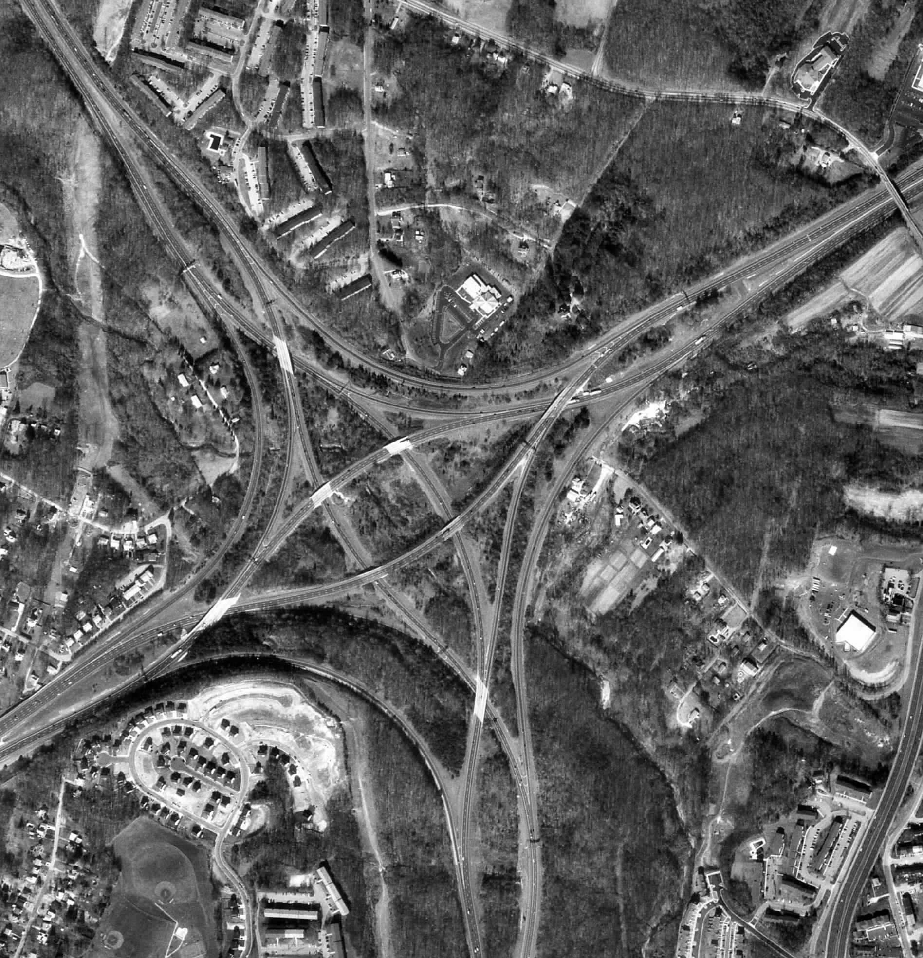
Black and White aerial photography is an element of remote sensing that uses photographs taken from satellites or planes using the visible light spectrum. This photo shows an interchange on I-95 in Baltimore. The black and white shows enough contrast for details to be seen. B&W photos are cheaper than colored photos so when color is not needed it works as a good alternative.
No comments:
Post a Comment