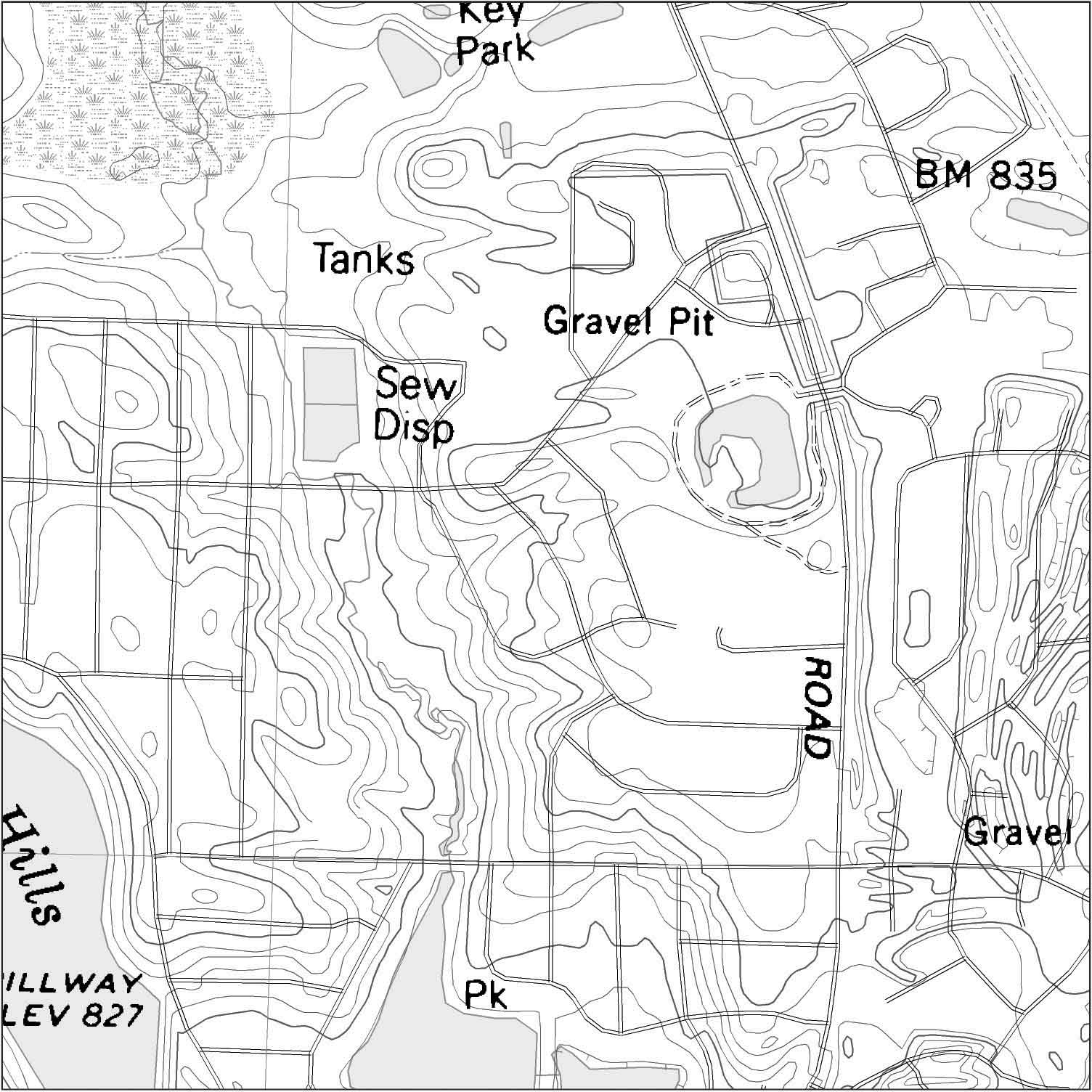
Digital Line Graph Map are digital vector maps produced by the USGS. Vector are points lines and polygons and are different than raster. Vector line maps have much finer line points that raster images and is useful for political boundaries and road maps. The image above shows elevation levels using contour lines and roads.
No comments:
Post a Comment